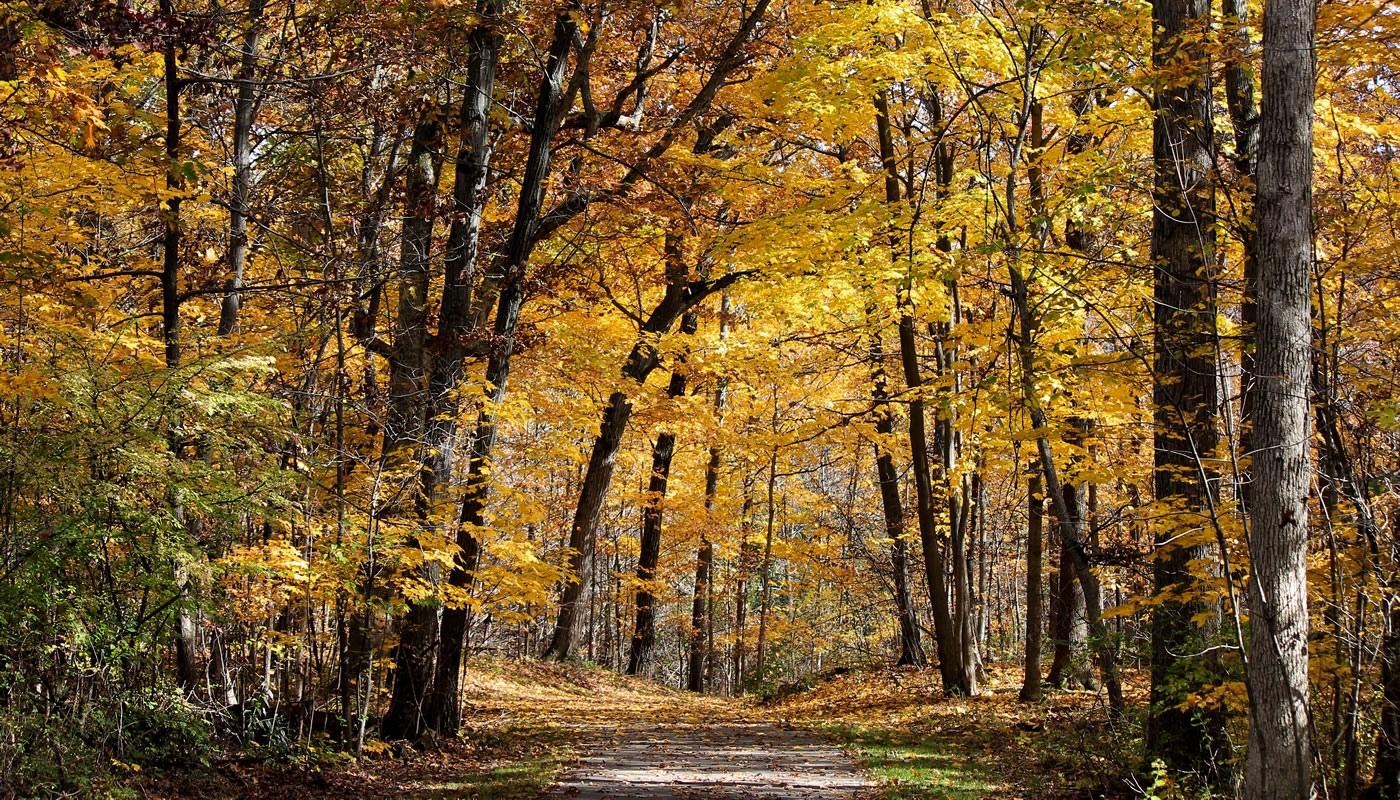
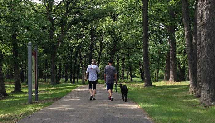
The Tinley Creek Trail System’s three paved loops take visitors over gently rolling hills, through prairies and forests, and alongside wetlands and ravines.
On this page:
Overview & Maps
Tinley Creek Trail System
Location: Markham, Midlothian, Oak Forest, Orland Park, Palos Heights & Tinely Park
Surface
Paved & UnpavedEstimated Total Length
27.3 milesHours
Year-round: Sunrise to SunsetClosures & Alerts
Trail Access
Access the Tinley Creek Trail System at any of these forest preserve locations (ordered from North to South). Check out the trail maps listed above to find on-street or bikeway access points.
Recommended Hikes
Introductory
Start and end at the Yankee Woods parking lot
- Length: 3.1 miles
- Surface: Paved
- Terrain: Slight Hills
The three-mile paved Purple Paved Loop, which traces the perimeter of the George W. Dunne National Golf Course, offers a relaxing tour through lush landscapes.
Start your trip at the west end of the Yankee Woods parking lot to access the Purple Paved Loop.
Intermediate
Start and end at the Turtlehead Lake parking lot
- Length: 10.5 miles
- Surface: Paved
- Terrain: Rolling
Begin your trek at the Turtlehead Lake parking lot and follow the Orange Spur to the 9.4-mile, Red Pave Loop.
The Red Paved Loop winds through woodlands and wetlands, around Turtlehead Lake and Arrowhead Lake and crosses Tinley Creek. The creek is a popular stopover for migrating songbirds from April through early June, and in September.
Advanced
Start and end at the Yankee Woods parking lot
- Length: 16 miles
- Surface: Paved
- Terrain: Rolling
Seeking a challenge? Try a combination of the Purple and Red Paved Loops, using the Green Paved Trail as a connector, for a total of 16 miles. These paved trails are great for hiking, cycling, or cross-country skiing in the winter.
Access the Purple Paved Loop from the west end of the Yankee Woods parking lot and take it in either direction. Circle the George W. Dunne National Golf Course and connect with the Green Paved Trail at 159th and Ridgeland. Follow north to the Red Paved Loop which winds through scenic woodlands, crosses Tinley Creek, and passes by Turtlehead Lake and Arrowhead Lake. Bird watching along the Red Paved Loop is especially good in spring and early fall.