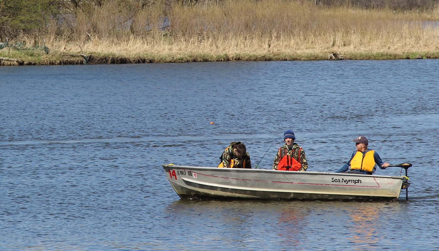
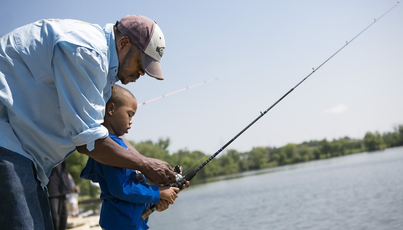
The Forest Preserves manages over 40 waterbodies for recreational sport fishing.
On this page:
- Fishing Regulations
- Fishing Lakes
- Accessible Fishing Areas
- Stocking Reports
- Boating
- Fishing Guide
- Ice Fishing
- Fish Consumption Advisory
- Fishing Events
Fishing Regulations
The Forest Preserves works with the Illinois Department of Natural Resources to provide quality hook-and-line fishing. All state laws and regulations apply to Forest Preserves waters, with some additional restrictions:
- Bow and arrow fishing for rough fish is not permitted in the preserves.
- All waters within the Forest Preserves are designated fish preserves, and each fisherman is limited to two lines with no more than two hooks per line and no trolley lines.
A valid Illinois Fishing License is required, except for individuals under 16 years of age or people with a disability. In addition, anyone required to have a valid State fishing license must have a valid Illinois Inland Trout Stamp when fishing for trout within designated trout lakes.
Additionally:
- Minnow seine use is not allowed, except for bait collecting on the Des Plaines River.
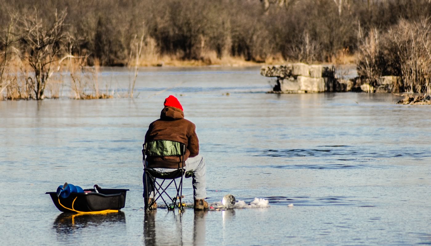
- Ice fishing is permitted only on designated waterbodies on a fish-at-your-own-risk basis.
- Don’t dump fish from home or other water bodies. It is illegal to release any fish, including minnows and goldfish, in any Forest Preserves’ waters except in the waters from which they were taken.
- Don’t litter. It is illegal to abandon, deposit or throw any wire, can, bottle, glass, paper, trash, rubbish, cardboard boxes, wood cartons, trees, parts of trees, brush, or other insoluble material, including animal or vegetable material, into the waters of Cook County, or in any place on the banks of waters in the County, where it shall be liable to be washed by storms, floods or other causes.
- Don’t enter the water. It is illegal to enter the water for any reason, including wading or swimming, unless authorized by administrative order of the General Superintendent.
- Follow all boating regulations when fishing on the water.
Daily Size & Creel Limits
These size and creel limits apply to all Forest Preserves fishing waterbodies. Please note: not all species are found in all waterbodies.
| Species | Size limit | Creel limit |
|---|---|---|
| Largemouth/Smallmouth Bass | 14 in. | 6/day |
| Walleye | 18 in. | 6/day |
| Northern Pike | 24 in. | 3/day |
| Muskellunge | 42 in. | 1/day |
| Channel Catfish | none | 6/day |
| Bluegill/Sunfish | none | 15/day |
| Black/White Crappie | none | 15/day |
| Rainbow Trout | none | 5/day |
Special Forest Preserves regulations regarding size, creel limit and/or closings may be imposed on designated waterbodies. These special regulations are used to help manage waterbodies and improve fish populations and will be posted at the impacted waterbodies. We ask the fishing public to respect and obey these additional regulations.
Trout Fishing
Rainbow trout are stocked in the spring and fall at Axehead Lake, Belleau Lake, Horsetail Lake, Green Lake and Sag Quarry – East.
Busse Reservoir North Pool is stocked only in the fall.
Trout fishing is closed from March 15 to the first Saturday in April and from October 1 to the third Saturday in October. A valid Illinois Fishing License with an Inland Trout Stamp is required to fish the Forest Preserves’ trout lakes.

Fishing Lakes
The Forest Preserves manages over 40 waterbodies for recreational sport fishing. Waterbodies are listed in alphabetical order.
Arrowhead Lake
Arrowhead Lake is a 13-acre body of water with a maximum depth of 12.6 feet. Three bump-outs are located off the parking lot that allows fishermen to access deeper water. Designated ice fishing lake.
Axehead Lake
This 17-acre lake with a maximum depth of 29.9 feet. Four bump-outs off the parking lots allow access to deeper water. Designated ice fishing lake.
Barrington Road Pond
This small, two-acre pond has a maximum depth of 7.2 feet.
Beck Lake
This 37-acre body of water with a depth of 18.5 feet has an island in the middle of it. The island is a wildlife area and access is prohibited. Features a trailered boat launch for canoes, kayaks, rowboats, sailboats and boats with electric trolling motors. Designated ice fishing lake.
Belleau Lake
This small, 12-acre lake is one of the deepest lakes in the Forest Preserves, with a maximum depth of 31.6 feet. Designated ice fishing lake.
Belly Deep Slough
This 17-acre slough is aptly named, with a maximum depth of only 3.4 feet.
Beverly Lake
Beverly Lake is a 16-acre body of water with a maximum depth of 7.2 feet.
Big Bend Lake
This 27-acre body of water has a depth of 27.8 feet; however, because it is connected to the Des Plaines River by a spillway, water level can fluctuate dramatically during flood events. Features a trailered boat launch for canoes, kayaks, rowboats, sailboats and boats with electric trolling motors. Designated ice fishing lake.
Bode Lake
Bode Lake North is a six-acre lake with a maximum depth of 13.4 feet at the north end; the larger and deeper Bode Lake South is 10 acres with a depth of 20.7 feet. Ice fishing is permitted on the south lake; however, due to inflow from Poplar Creek, no ice fishing is permitted on the north lake.
- Fishing Map (PDF)
- Population Survey: North (PDF) | South (PDF)
Bullfrog Lake
This 16-acre lake has a maximum depth of 9.9 feet. Two bump-outs are located on the eastern shoreline. Fishing within the campground (along the southwestern shoreline) is restricted to registered campers only.
*Kayak rental with accessible landing available for registered campers only.
Busse Reservoir
At 457 acres, Busse Reservoir is one of the largest fishing and boating waters in Cook County. Six fishing walls are available at portions of the over 20 miles of shoreline, including three accessible fishing areas. Boat rentals, bait and other fishing supplies are available at the Boating Center. Ice fishing is allowed everywhere except the North Pool (north of Higgins Rd).
- Fishing Map (PDF)
- Population Survey: Main (PDF) | North (PDF) | South (PDF)
*Boat rentals, bait and other fishing supplies available. Features two trailered boat launches for canoes, kayaks, rowboats, sailboats and boats with electric trolling motors. It also features an accessible canoe landing for canoes and kayaks.
*Features accessible fishing area.
*Features accessible fishing area.
*Features accessible fishing area. No ice fishing allowed at this location.
Cermak Quarry
Don’t let its small size (only three acres) fool you; this old quarry drops to 18.3 feet!
Deer Grove Lake
Flatfoot Lake
Flatfoot Lake at Beaubien Woods is a 19-acre former strip mine with a maximum depth of 15.4 feet. Features an accessible fishing area on the barrier-free fishing pier. Designated ice fishing lake.
*Features accessible fishing area.
Green Lake
This five-acre lake is the deepest lake in the Forest Preserves, with a maximum depth of 38.1 feet. Designated ice fishing lake.
Horsetail Lake
Horsetail Lake is 12 acres and has a maximum depth of 19 feet near the east end. Designated ice fishing lake.
Ida Lake
Joe’s Pond
Joe’s Pond is a six-acre pond with a maximum depth of 9.6 feet.
Maple Lake
Constructed in the 1920s, this 60-acre lake drops down to 20.4 feet in the northwest corner. A fishing pier is located on the east side of the lake, and four bump-outs are located in the southwest corner. Boat rentals, bait and other fishing supplies are available at the Boating Center. Private boats prohibited. Designated ice fishing lake.
*Boat rentals, bait and other fishing supplies available. Private boats are prohibited on Maple Lake. Features accessible fishing area.
*Features a fishing pier.
McGinty Slough
This waterbody is 38 acres with a depth of 8.2 feet. This lake is walk-in access only, via the Brown Unpaved Loop on the Sag Valley Trail System.
Midlothian Reservoir
Known to locals as “Twin Lakes.” The east pond is 16 acres with a depth of 10.7 feet, and the larger west pond is 19 acres with a depth of 8.9 feet. These ponds were constructed as stormwater retention ponds during flood events, so water depth can fluctuate dramatically.
O’Malley Ponds
O’Malley Ponds consists of three ponds, totaling 21 acres. A fourth pond is located to the west, but it is on private property.
Papoose Lake
This 18-acre lake has a maximum depth of 9.3 feet. Two bump-outs near the parking lot allow access to deeper water. Designated ice fishing lake.
Penny Road Pond
This small, seven-acre pond has a maximum depth of 4.6 feet and is connected to Spring Creek.
Pogie Lake
A 14-acre lake.
*Features accessible fishing area.
Potawatomi Pond
A four-acre pond.
Powderhorn Lake
This 48-acre lake has a maximum depth of 17.4 feet and is connected to a large marsh on the north end. This marsh has been designated a wildlife refuge and a Nature Preserve by the State of Illinois—no fishing is permitted in this area. Features a trailered boat launch for canoes, kayaks, rowboats, sailboats and boats with electric trolling motors. Designated ice fishing lake.
Rolling Knolls Pond
This small, 1.8-acre pond has a maximum depth of 7.5 feet and is occasionally influenced by Poplar Creek.
Saganashkee Slough
This large 377-acre lake is only 6.3 feet deep at the west end and features a barrier-free fishing wall at the east end. Features a trailered boat launch for canoes, kayaks, rowboats, sailboats and boats with electric trolling motors. Designated ice fishing lake. Canoe & kayak rental available.
*Features an accessible trailered boat launch for canoes, kayaks, rowboats and boats with electric trolling motors. The boat launch closes from roughly October to April each year to accommodate migrating waterfowl. Check if the closure is active.
*Features accessible fishing area.
Sag Quarries
These lakes are old limestone quarries. The west lake is 14 acres with a maximum depth of 10.3 feet. The east lake is 17 acres and has a maximum depth of 17.1 feet Designated ice fishing lake.
- Fishing Map (PDF)
- Population Survey: East (PDF) | West (PDF)
Sauk Lake
Sauk Lake is a 29-acre lake with a maximum depth of just over four feet. It was created as an impoundment of Thorn Creek in 1923 when a dam was installed at 26th Street. Due to heavy erosion and sedimentation from Thorn Creek, the game fish population is quite sparse, mostly consisting of common carp and bullhead. Smaller numbers of largemouth bass, bluegill and green sunfish are also present.
Schiller Pond
This small, 6-acre pond has a maximum depth of 6.3 feet. Seven bump-outs are located around the pond to improve access to deeper water.
Skokie Lagoons
Skokie Lagoons is a system of seven lagoons connected by channels on the Skokie River. The total acreage for the entire lagoon system is 242 acres. The maximum depth of 14.9 feet is located in Lagoon #2; however, pockets of 10 feet or more can be found in most of the other lagoons. Features an accessible trailered boat launch for canoes, kayaks, rowboats, sailboats and boats with electric trolling motors. Canoe and kayak rentals are available.
- Fishing Map (PDF)
- Population Survey: Lagoons #1-2 (PDF) | Lagoons #3-5 (PDF) | Lagoon #6 (PDF)
*Features an accessible trailered boat launch for canoes, kayaks, rowboats, sailboats and boats with electric trolling motors. Features accessible fishing area.
Tampier Lake
Tampier Lake has 131 acres of fishable water, with a maximum depth of 9.4 feet. Watercraft are not permitted north of 131st St., and fishing is prohibited north of the power lines. Features a trailered boat launch for canoes, kayaks, rowboats, sailboats and boats with electric trolling motors. Boat rentals, bait and other fishing supplies are available at the Boating Center. Designated ice fishing lake.
*Boat rentals, bait and other fishing supplies available.
Thatcher Pond
This 1.5-acre pond, next to the Trailside Museum of Natural History parking lot, is an old oxbow of the Des Plaines River prone to flooding. The river heavily influences its fish population.
Tryner’s Pond
This area is made up of several ponds connected by small channels and totals 12 acres. The northern pond is the deepest with a maximum depth of 13.1 feet. Walk-in access only.
Tuma Lake
Turtlehead Lake
This 18-acre site includes Turtlehead Lake, Turtlehead Pond and West Pond. Turtlehead Lake is the deepest at 14.6 feet, Turtlehead Pond is 11.5 feet deep, and West Pond is 4.3 feet deep. Designated ice fishing lake.
Wampum Lake
Wampum Lake is 35 acres and has a maximum depth of 14.1 feet. Nine bump-outs are located on the southern and western shorelines allowing better access to deep water. Designated ice fishing lake.
Accessible Fishing Areas
Accessible fishing areas include accessible parking, a paved path to the shoreline, a hard surface along the shoreline, and railings along portions, or all, of the hard-surfaced shoreline. Some areas have access to accessible bathrooms for all or part of the year.
- Distance to accessible parking: 390 ft
- Distance to accessible portable bathroom: 296 ft
- Distance to accessible parking: 189 ft
- Distance to accessible indoor bathroom: 314 ft
- Distance to accessible parking: 620 ft
- Distance to accessible indoor bathroom: 580 ft
- Distance to accessible parking: 410 ft
- Distance to accessible indoor bathroom: 580 ft
- Distance to accessible parking: 400 ft
- Distance to accessible indoor bathroom: 500 ft
- Distance to accessible parking: 463 ft
- Distance to accessible indoor bathroom: 380 ft
- Distance to accessible parking: 110 ft
- Currently no accessible bathroom
- Distance to accessible parking: 20 ft
- Currently no accessible bathroom
- Distance to accessible parking: 30 ft
- Currently no accessible bathroom
Stocking Reports
The Forest Preserves, in cooperation with the Illinois Department of Natural Resources, stocks numerous lakes with sport fish annually. Rainbow trout are stocked twice a year, once in the spring and once in the fall.
- 2024 Stocking Report (PDF)
- 2023 Stocking Report (PDF)
- 2022 Stocking Report (PDF)
- 2021 Stocking Report (PDF)
- 2020 Stocking Report (PDF)
- 2019 Stocking Report (PDF)
- 2018 Stocking Report (PDF)
- 2017 Stocking Report (PDF)
- 2016 Stocking Report (PDF)
- 2015 Stocking Report (PDF)
- 2014 Stocking Report (PDF)
- 2013 Stocking Report (PDF)
- 2012 Stocking Report (PDF)

Boating
- List of Boating Lakes
- List of Accessible Canoe Landings and Boat Launches
- List of Boat Rental Locations (some locations have bait and other fishing supplies)
- Boating Regulations
Fishing Guide
The Forest Preserves fishing guide lists all fishing and boating regulations, locations, maps, and other information on fishing and boating.
English-printed fishing guides are available at the Forest Preserves General Headquarters in River Forest, IL, and all six Nature Centers.
*El guía de pesca en español está disponible en línea, haga clic en el botón de arriba para descargar.

Ice Fishing
Ice fishing is permitted only on designated waterbodies on a fish-at-your-own-risk basis:
- The Forest Preserves does not monitor ice conditions.
- Ice fishermen should check ice thickness before going out on any frozen body of water.
- A minimum of four inches of solid ice over the entire water body is recommended before individuals attempt ice fishing.
Designated Ice Fishing Waterbodies
- Arrowhead Lake
- Axehead Lake
- Beck Lake
- Belleau Lake
- Big Bend Lake
- Bode Lake (South only)
- Bullfrog Lake
- Busse Reservoir (Main Pool & South Pool only)
- Flatfoot Lake
- Green Lake
- Horsetail Lake
- Ida Lake
- Maple Lake
- Papoose Lake
- Powderhorn Lake
- Saganashkee Slough
- Sag Quarries
- Tampier Lake
- Turtlehead Lake
- Wampum Lake
Fish Consumption Advisory
Please see the Illinois Department of Natural Resources website for more information.

